Home / Trail Log
GPS tracks · maps · chest-cam

Trail Log

A record of the hikes I've taken west of the Mississippi, plus a few close to home. Most were recorded with a GPS track and a camera on my chest snapping a frame every minute. Try importing the GPX files into Google Earth or Maps to see the terrain and zoom in.

Lake Solitude hike, satellite view
Grand Teton NP · August 16, 2014

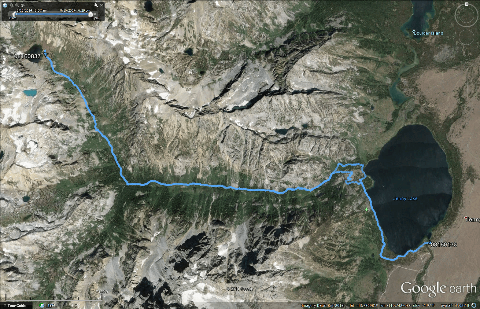
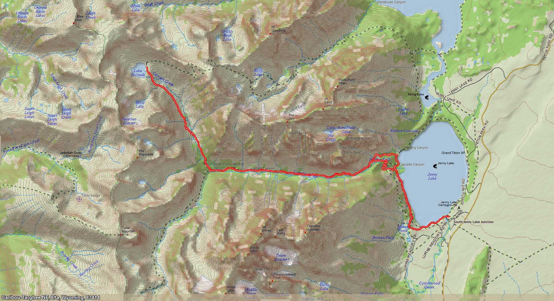
Lake Solitude

  • 19 mi round trip
  • 2,700 ft gain
  • 9,000 ft at the lake

My favorite hike in the world, a nostalgic repeat of the one I took over 30 years earlier during a six-month leave from Bell Labs. From Jenny Lake up Cascade Canyon you're behind the front peaks, looking into the interior range. A ranger said the moose were hiding this year; three hours later I'd run into five (not literally).
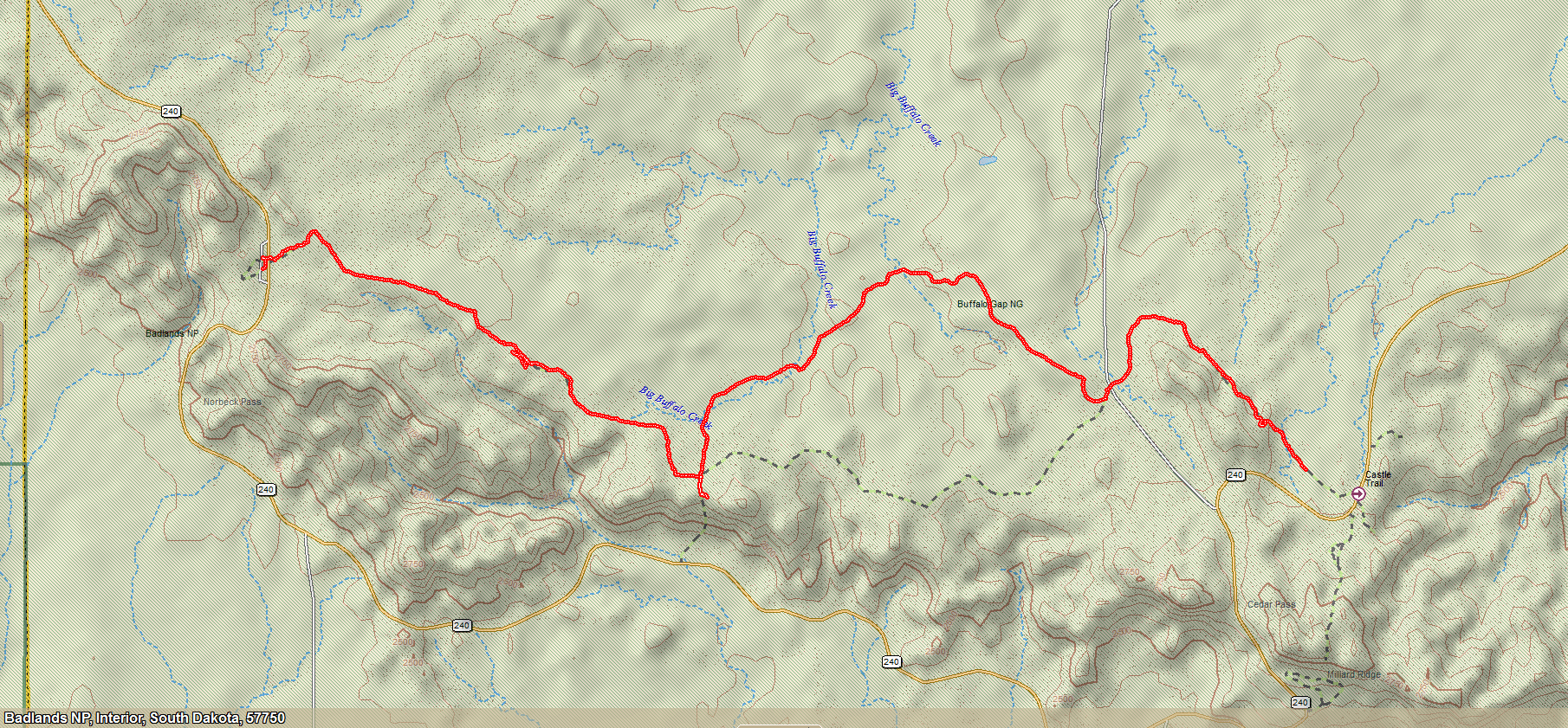
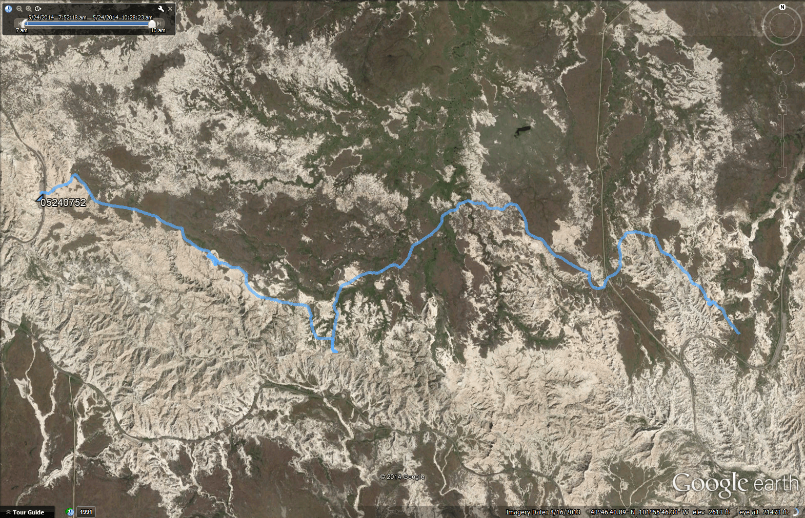
Castle Trail loop in Badlands NP, topographic map
Badlands NP · South Dakota

Castle, Medicine Root & Saddle Pass

A loop from the Castle Trail through Medicine Root to Saddle Pass and back along Castle Rock. I had the camera strapped to my chest and it recorded until the battery ran out, so there's a hiker's-eye view alongside the "good" camera's panoramas.

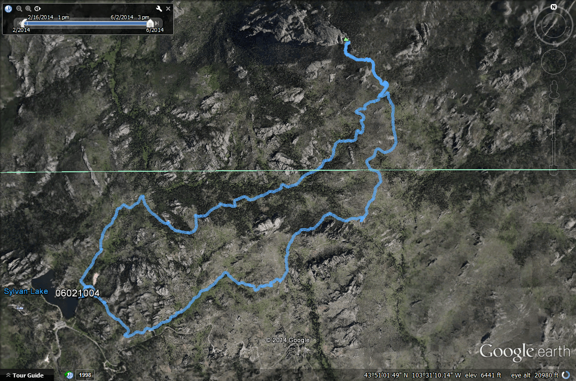
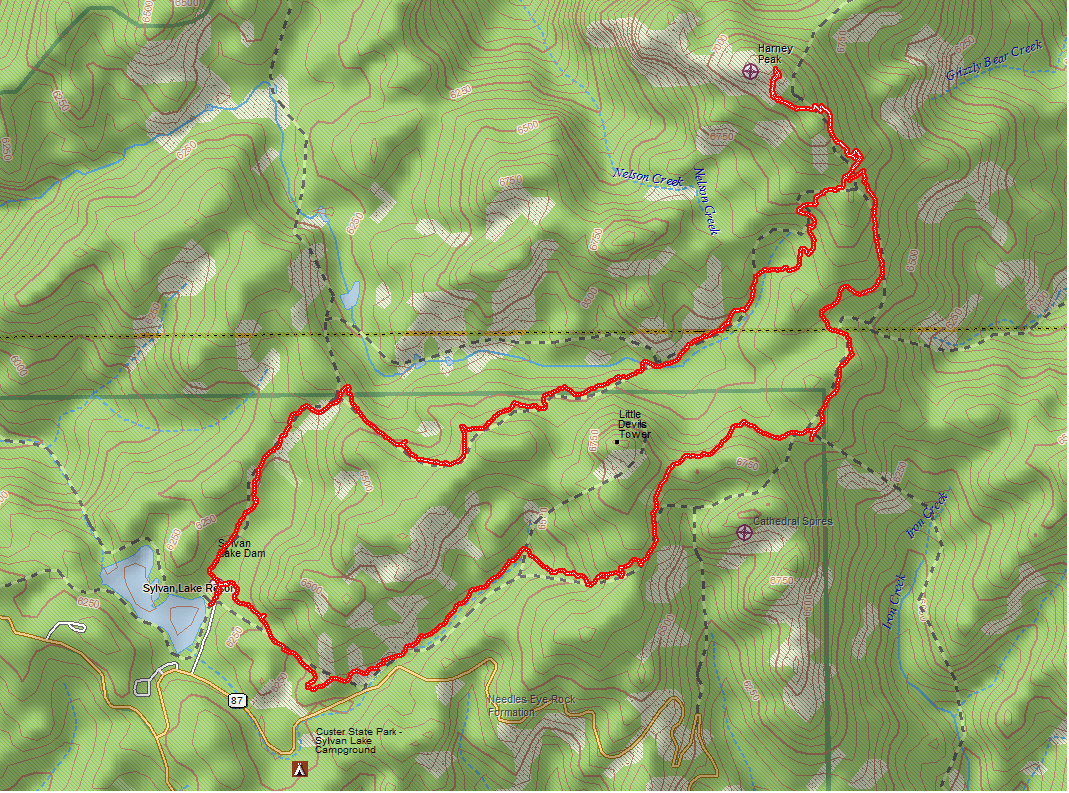
Harney Peak hike, satellite view
Black Hills · South Dakota

Harney Peak

The high point of the Black Hills, hiked during our stay in Hermosa, between bouts of the wild weather that kept clobbering Rapid City.

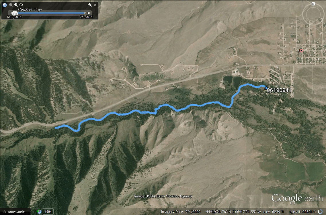
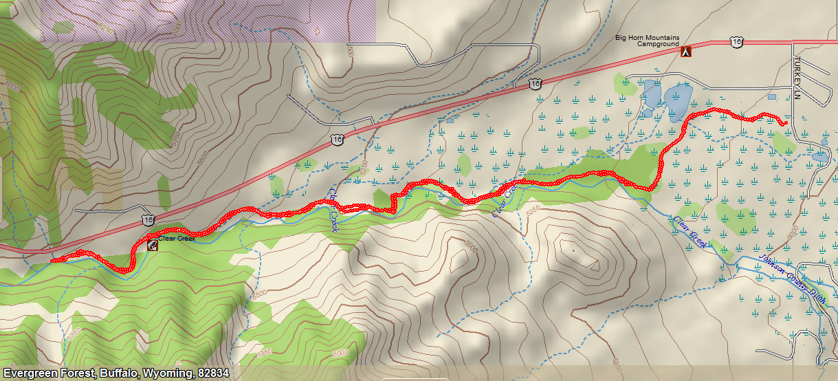
Clear Creek Trail, Mentock section, satellite view
Buffalo · Wyoming

Clear Creek Trail (Mentock section)

The hiking and biking trail started near our campground, ran through town and out into the forest at the foot of the Big Horn Mountains.

Henrys Lake trail, satellite view
Island Park · Idaho

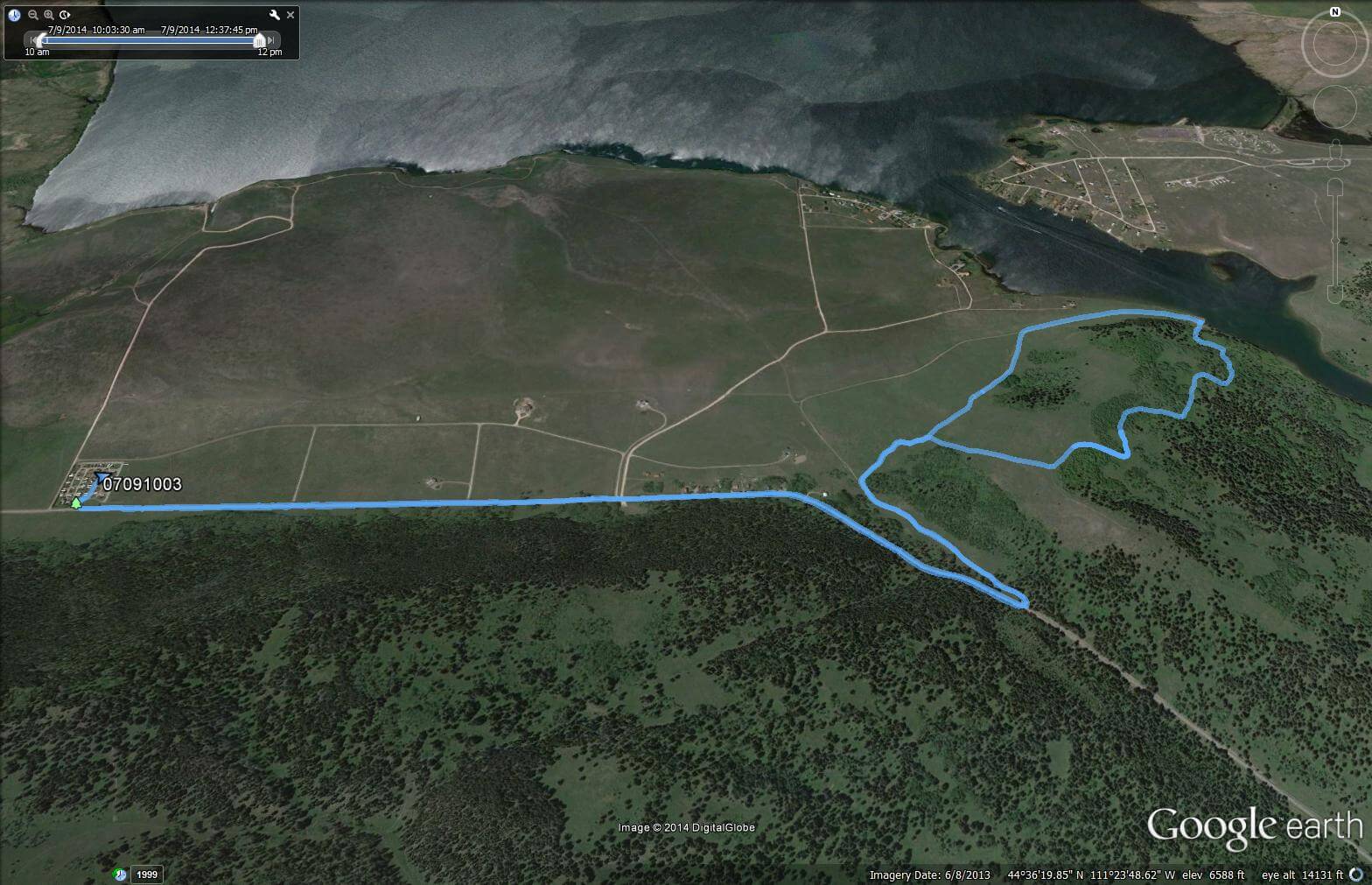
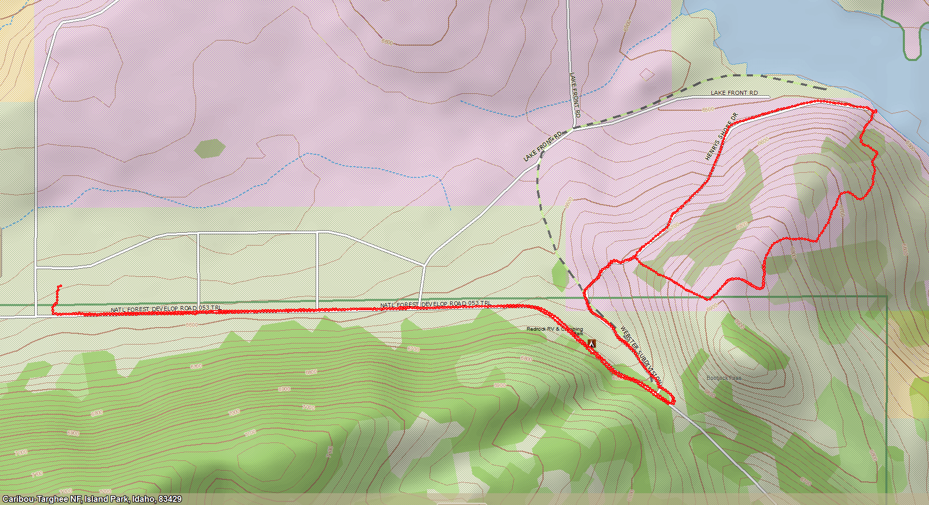
Henrys Lake Trail

Hiked from Red Rock RV Park, our base for three weeks and a half-hour from Yellowstone's West Entrance. The campground setting was extraordinary.

More trails

Photos only

These hikes have photo albums but no surviving map images.

Yellowstone NP

Mt. Washburn

  • 6 mi
  • 1,400 ft gain
  • 10,000 ft summit

From the Grand Loop Road pull-out. Chest-cam covers the upward trip only.

Grand Teton NP

Amphitheater Lake

  • 10.1 mi
  • 3,000 ft climbing
  • 9,698 ft at the lake

Up all the way from the start, with views of the valley and the Tetons from the interior. I caught some climbers on video, then turned back from Garnet Canyon when it got dicey.

Harriman State Park · Idaho

Harriman Ridge Trail

A ridge walk near Island Park with a chest-cam record of the whole route.